Southern Tunisia
Southern Tunisia is a vast region where the Mediterranean coast transitions into rugged mountain ranges, vast salt flats, and the sands of the Sahara. It is defined by distinct cultural landscapes: Berber heritage, palm-filled oases, and nomadic traditions.
Core Sub-Regions & Geography
-
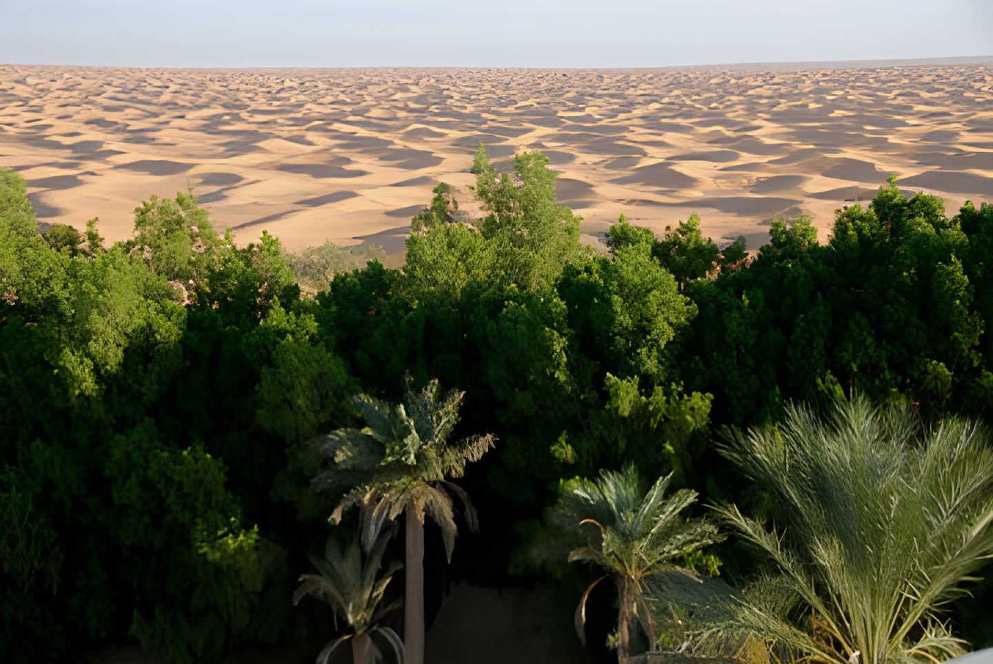
The Great Erg Oriental & Desert Gateways: The western and southern reaches feature sweeping sand dunes. Towns like Douz and oasis outposts like Ksar Ghilane serve as main bases for camel treks, 4x4 expeditions, and desert camps.
-
The Jerid & Chott Region: Dominated by Chott el Djerid, a massive seasonal salt lake separating the northern steppe from the desert. Nearby Tozeur and Nefta showcase historic brick architecture and massive date palm groves.
-
The Dahar Mountains & Ksour Country: A rugged limestone range stretching through Tataouine and Matmata. Famous for hilltop Berber villages (Chenini, Douiret), troglodyte cave dwellings, and fortified granaries (ksour).
-
The Mountain Oases: Clustered near the Algerian border, the canyons of Chebika, Tamerza, and Mides feature freshwater waterfalls and lush palm groves set against stark rock faces.
-
The Coastal Island & Southeastern Plain: Djerba and Zarzis anchor the eastern coast, blending Mediterranean beach resorts with ancient synagogues, traditional pottery, and fishing ports.